

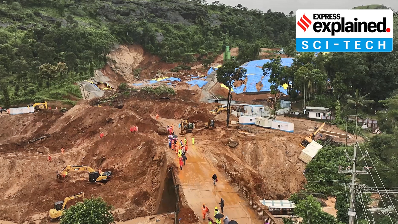
The landslides in recent days in the Western Ghats and other parts of India have reignited discussions on the need for an early warning system for such events.
Landslides can indeed be predicted, at least in highly prone areas like Wayanad, and an early warning system can be installed for timely evacuations from danger zones. Such systems already work effectively in many countries. Two well-publicised successful cases come from Switzerland, where separate instances from 2023 and 2025 saw hundreds of people evacuated from a hazardous area a few days before disaster struck.
Examples of early warning systems for landslides can be found in India, too. Barely two weeks before the 2024 landslides in Wayanad, a series of landslides in the hills of Munnar (further south in Kerala) saw no loss of life. This was partly because the Idukki district administration had evacuated people on the advice of a team of researchers from Amrita University, who were testing an early warning system at a few sites in the district.
Led by Maneesha Vinodini Ramesh, the research team is just one of the several groups developing such early warning systems in collaboration with relevant government agencies.
Range of models
About 13% of India’s total landmass, covering about 0.42 million square km, is known to be prone to landslides, according to the National Disaster Management Authority. The risk is highest in the Himalayan region and along the Western Ghats.
Recently, Professor Dericks Praise Shukla and his team at IIT Mandi have unveiled their own landslide early warning system, which is in the process of getting validated with ongoing events in the Himalayan region. Over the last year, their models were validated against about 80 actual landslides in the region.
Shukla has been using a different methodology for predicting earthquakes than those deployed by researchers at Amrita University. “They have installed a network of sensors at the high-risk sites, instruments like tilt meters, pressure gauges, accelerometers (to measure change in vibrations, ground movements, etc.) and the like. If these sensors report values that are beyond certain well-defined thresholds, then a warning is issued, and the district administration can take action,” he told The Indian Express.
Story continues below this ad
“Scientifically, this is a very robust method, and gives plenty of lead time to plan and execute evacuations. This is how early warning systems are operating in other countries as well. The one limitation is that you get the information only about the slope where the instruments are installed, nothing about the neighbouring slope. Landslides are highly localised events,” he said.
Shukla has been using a probabilistic forecasting method to track possibilities of landslides in the Himalayan region. His team has mapped out vulnerable spots in the region using a satellite-based database of past events.
Since rainfall is one of the most common triggers, the team uses highly localised rainfall forecasts to model the probability of a landslide at these sites. Several other relevant factors like soil conditions, rock stability, extent of slope, and population density have to be fed into the model. “There are about 7-10 layers of rainfall-derived parameters for every location on any date,” he said. This helps identify locations with a very high probability of experiencing a landslide.
“Very localised rainfall forecast is available only on that particular date or a day earlier. So, our method does not give a very long lead time. Once higher-resolution rainfall forecasts, which India Meteorological Department is working on, become available, landslide forecasts can be made much earlier. But our method does provide information for a large number of vulnerable locations in the entire stretch, even those in the remote regions,” Shukla said.
Story continues below this ad
“Frankly, a very comprehensive and effective early warning system for landslides can be prepared in about two years if resources and effort are properly dedicated to this exercise. Within the areas prone to landslides, we must identify high-risk areas where landslides are frequent and that can cause the most serious potential damage to life and property. This has not been done. Once this gets done, we can go in for installation of sensors at selected sites,” he added.
“In the Himalayan region, the northwestern part has some of the most vulnerable locations. Areas near Tehri Garhwal, Uttarkashi in Uttarakhand and Mandi and Shimla in Himachal Pradesh are extremely vulnerable and have high populations. Many parts of Mizoram, around Aizawl, are very vulnerable, and so are some places in Manipur. Sikkim, often seen as a hotspot, is relatively less vulnerable. One reason is that the road network in Sikkim is not very extensive, meaning less cutting of mountains and disturbance, which implies greater stability,” Shukla said.